P.A. MILLER SURVEYING LTD.
Ontario Land Surveyors · Canada Lands Surveyors

Reliable, High Quality Surveying Services
On time and on budget since 1980!
WE
STARTED
Providing reliable, high quality survey services, on time and on budget since 1980, servicing Prince Edward Country, through Belleville and up to the cottage country encompassed by Haliburton, Bancroft, Algonquin Park and North Frontenac.
In the industry since
Completed projects
This firm was originally set up as a partnership between Paul Miller, BSc., OLS, CLS and John Ward BSc., OLS in 1982 in the Village of Stirling. Both were graduates of the University of Toronto with a Bachelor of Science degree in Survey Science. The partnership matured into Miller and Ward Surveying Ltd. in 1985. Mr. Ward left to pursue other interestes in 1987 and the company name was changed accordingly to P.A. Miller Surveying Ltd. in 1989.
In 1990, the company moved to a new 1600 square foot office to better accommodate our growing staff. In 1998, the Bancroft practice of Peter J. Stringer, OLS was purchased. This included the survey records of M.J. McAlpine, K. Amer, B.J.Raymond, W.Lumb and C.F. Aylesworth, totalling some 15,000 files dating back to the late 1800s.

WE
GREW
In 2014, Kevin R.D. Smith, BSc. Eng, OLS, CLS joined the firm and became a partner in 2018.
Kevin is a graduate of the University of New Brunswick’s Bachelor of Science – Geodesy and Geomatics Engineering program.
In 2021, Taylor G. DeRuiter, BSc. Eng, OLS, CLS, OLIP joined the firm. Taylor is also a graduate of the University of New Brunswick’s Bachelor of Science – Geodesy and Geomatics Engineering program.
In February 2022, we acquired the survey records and files of Ronald H. Smith Ltd Surveying and Mapping. Under the direction of Ronald H. Smith, OLS, CLS, OLIP, the firm provided legal, construction, engineering, planning and mapping services in Gananoque, Kingston and the surrounding area since 1978.
The firm currently employs nineteen (19) full-time and part-time staff to support the survey operation.


WE
ARE
Primarily a cadastral/legal (i.e. boundary surveys) firm that services the needs of private land owners, developers, all levels of government, government agencies, infrastructure (e.g. Bell Canada) and First Nations.
Many of our private clients are cottage owners looking to confirm their property limits, purchase the Shore Road Allowance and/or Crown Reserve lying in front of their ownership, and obtain an up-to-date Topographic Survey.
We assist clients with a significant number of Planning Act Consent Applications each year for severances and Lot Additions. Many clients do not wish to navigate the ‘Consent’ process on their own and hire us to act as their agents for this purpose.
Our firm is a primary vendor for Infrastructure Ontario (IO) in Eastern Ontario completing legal work on Provincially owned land and unpatented Crown land. Our contracts through IO include such clients as the Ministry of Natural Resources, the Ministry of the Environment, Conservation and Parks (e.g. Ontario Parks) and the St. Lawrence Parks Commission.
We are also very busy supporting Natural Resources Canada (NRCan) in undertaking First Nation Land Surveys, additions to the National Park system and projects requiring surveyors to have dual cadastral survey licenses.
Our field crews primarily work in the Counties of Hastings, Prince Edward, Lennox & Addington, Frontenac, Renfrew, southern Nipissing and eastern portions of Haliburton, Peterborough and Northumberland. However, our on-going work with Hydro One Networks and First Nations such as the Mississauga’s of Scugog Island and the Mohawks of Akwesasne has us travelling much further afield.


WE
UTILIZE
State of the art workstations employing software designed by Microsurvey along with various other software programs to provide high quality products.
Our firm has made a substantial investment in Global Navigation Satellite Systems (GNSS) training and equipment since 1991. All our survey crews are outfitted with Leica GNSS dual frequency receivers with both radio and cellular connections. In addition, we host two permanent base stations (in Madoc and Campbellford) within the Leica “SmartNet GNSS” system which serves southern Ontario. In 2015, we invested in Unmanned Aerial Vehicle (drone) technology and photogrammetric software to produce various mapping and survey products such as construction progress reporting for engineering rehabilitation locations, mapping for Draft Plans of Subdivisions and volumetric surveys for municipal waste disposal sites. In recent years — combined with Least Squares analysis software — we have invested heavily in high precision total stations and targeting systems to ensure precise layout of critical infrastructure.
In recent years we have started acquiring electric hybrid work vehicles to extend our fuel range and support the environment. We are currently exploring the use of Starlink to improve safety and communications for our field crews working in remote areas where cellular communications can often be non-existent.
Many of our projects are supported by the use and analysis of LiDAR datasets that are freely available to the public through Land Information Ontario. We have invested time and money training some of our staff in the use of Geographic Information Systems software that can handle these large datasets.


ARE

Paul A. Miller
BSc., OLS, CLS, OLIP

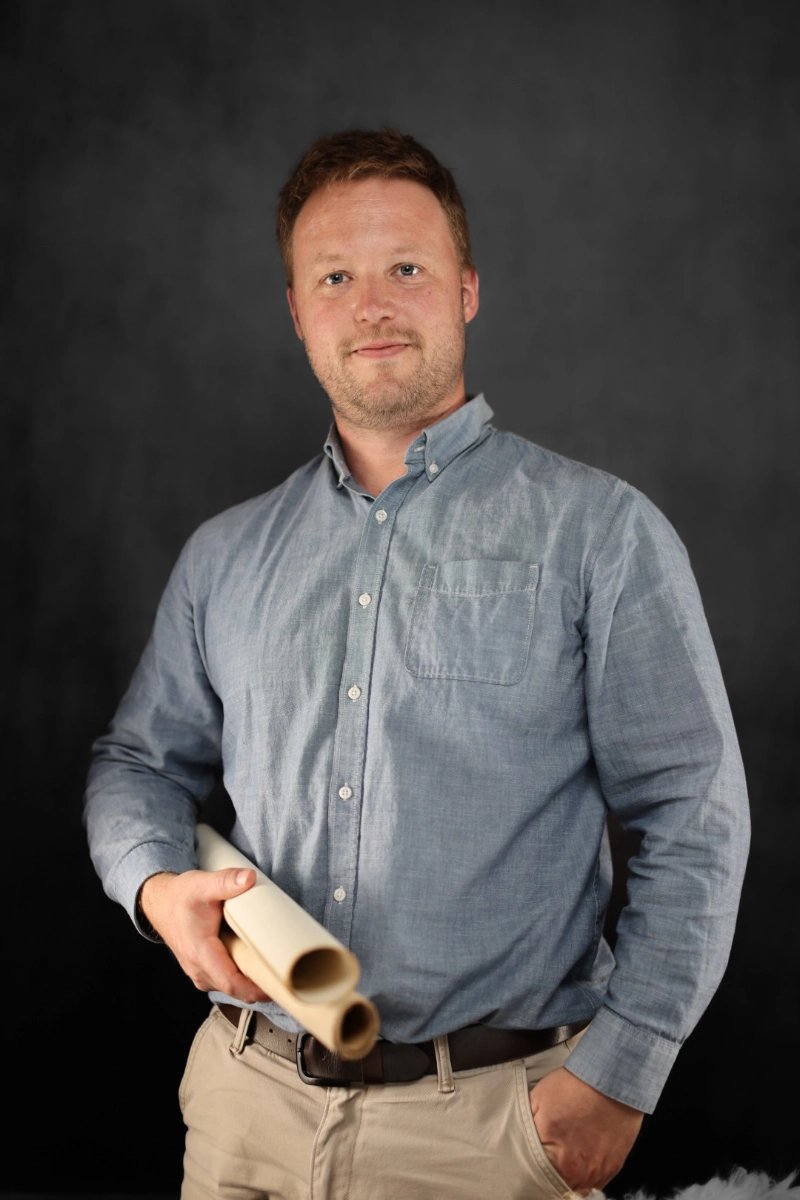
Kevin R.D. Smith
BSc. Eng, OLS, CLS, OLIP
Taylor G. Deruiter
BSc. Eng, OLS, OLIP